Interactive 3D Map Showing Distance between New York and Los Angeles
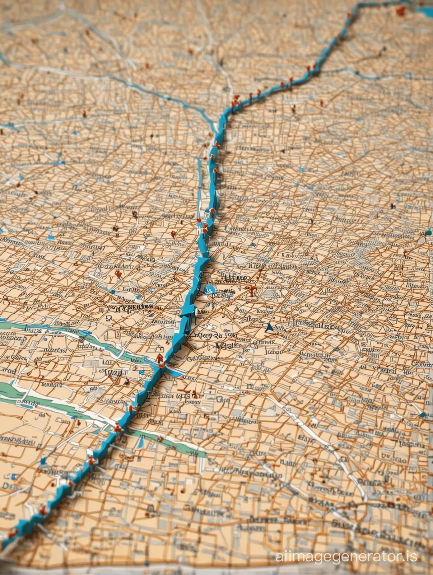
Image Prompt
Prompt
3D map with arrows showing distance between New York and Las Angeles
Model: realistic
Ratio: 3:4
Related AI Images


Related Tags
Prompt Analyze
- Subject: The main subject of the image is an interactive 3D map, highlighting the distance between New York and Los Angeles. This suggests a technological or educational setting, where the focus is on geographical information. Background: The background could depict a virtual environment, perhaps with a stylized representation of the United States, including landmarks or geographical features. The colors might be vibrant and attention-grabbing to enhance user engagement. Style/Coloring: The style could be modern and sleek, with clean lines and realistic textures to convey a sense of professionalism and accuracy. The coloring might include shades of blue to represent bodies of water, green for land, and possibly red or yellow to indicate the start and end points of the journey. Action or Items: The main action in the image is the display of distance between two points, likely represented by arrows or lines. Other items could include labels for cities, landmarks, or geographical regions to provide context and aid in navigation. Costume or Appearance: Since this is a digital representation, there are no costumes involved. However, the appearance of the map interface should be user-friendly, with clear typography and intuitive controls for user interaction. Accessories: Accessories in this context could include additional features such as zoom controls, toggles for different views (e.g., satellite imagery, terrain), or information overlays providing facts about the locations being depicted.